Climbing Monument Peak
by James Montgomery
June 9, 2022
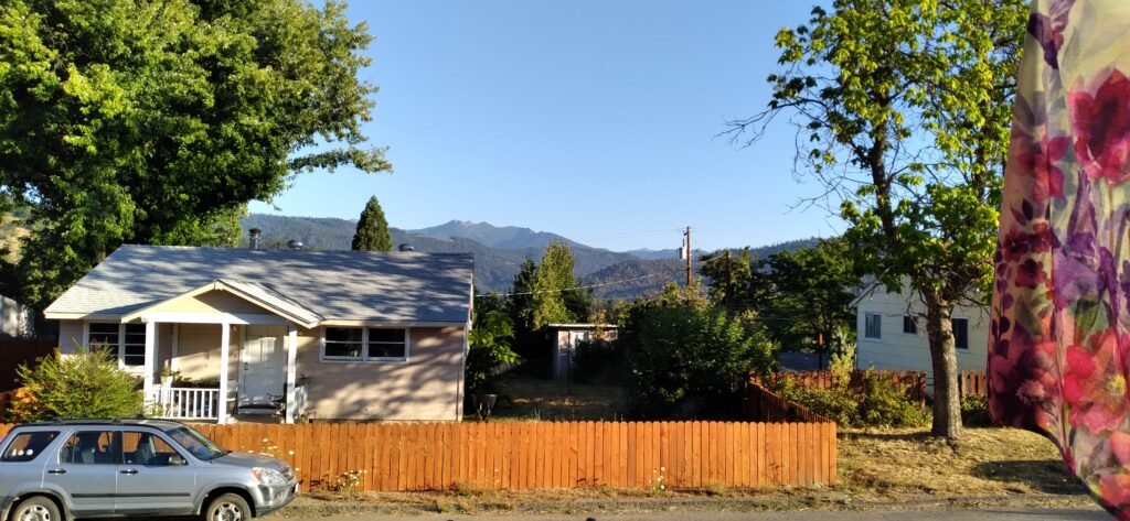
I can see my destination from the front porch. Monument Peak. From our house, it shows as three distinct peaks. Last spring I got to the top of the left-hand (westernmost) peak pretty easily, but then I dropped down to East Weaver Lake to spend the night. This year I hope to make it up to the top of the right-hand peak, which is actually considered Monument Peak. It is higher than the other two, but it does not appear so from our house because it is farther away. We shall see how this goes. Last year I did not get a good look at the pass between them but it appears that it is wooded and probably not too rocky to bivouac on.
This is my goal. I have three days to do it.
The drive to Weavervill is uneventful. The same for the drive up to the trailhead. No one was on the road, which was nice, as it is steep, winding and narrow. I put the Explorer in 4 wheel drive. I could make it in 2WD, but it is easier on the vehicle in 4WD. It’s a pretty rugged road.
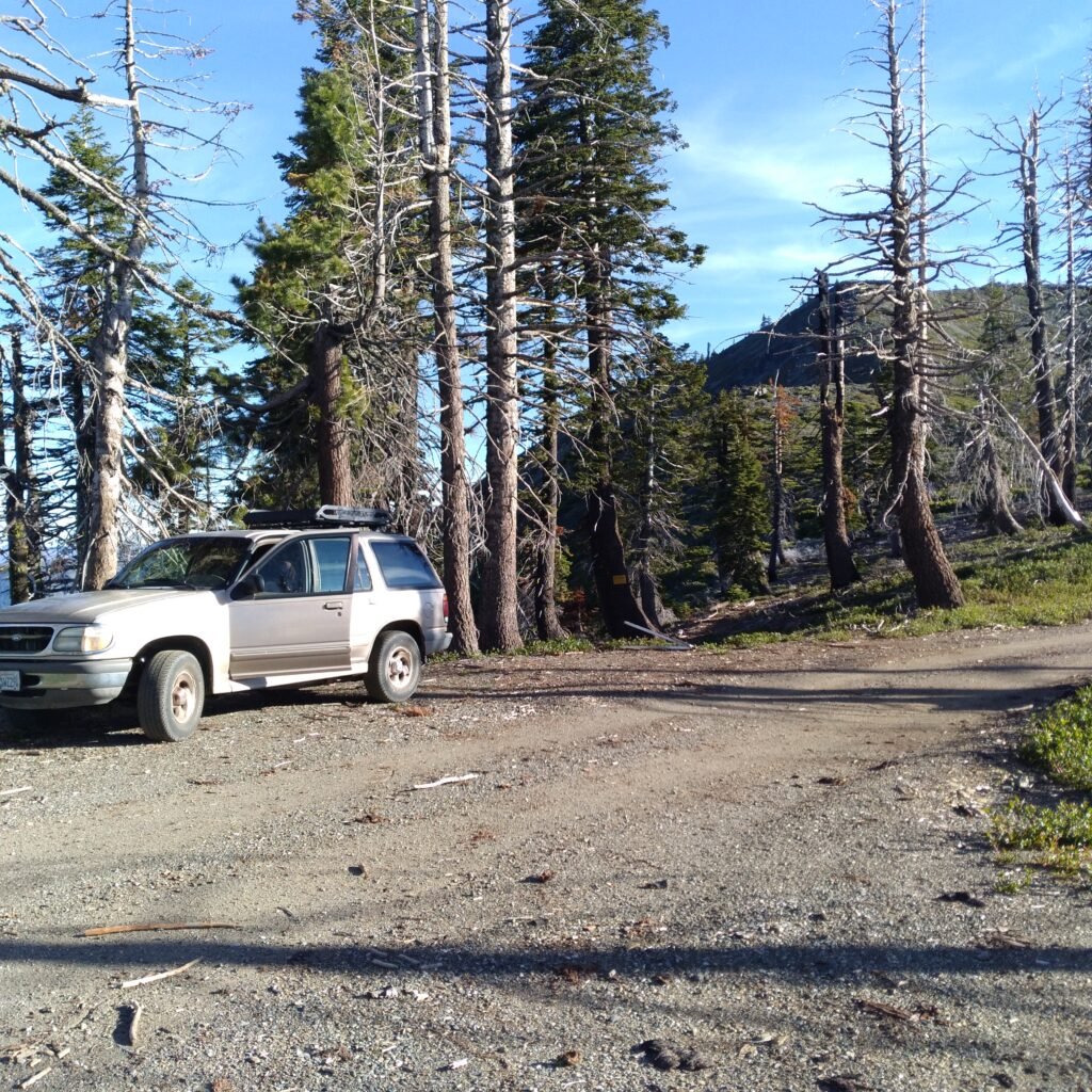
At the trailhead I see a nice buck, The hike up the ridge is the same as last year, tho there is a lot less snow. The trail is easier to follow. This is geriatric mountaineering, less than mountain climbing, but more than a stroll down the lane. Monument Peak is not K2, but it is not a city park, either.
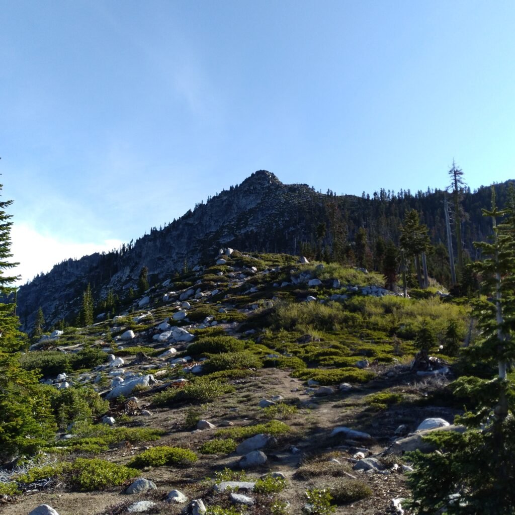
At the top of the first peak, the easy one, I have to start sidehilling around, under the middle peak, the one that seems too steep and rocky for me to scale.
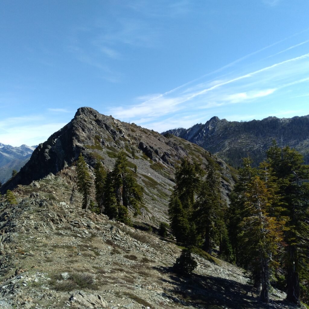
Sidehilling is tough. The terrain is small boulders, from basketball size up to chair-sized. This is ankle-breaker stuff, so I move slowly and carefully, using my trekking poles for balance. I am glad there is no one there to watch me; an old man doddering around the side of a mountain over a steep rockslide. As I tire, I rest, sitting on a boulder. There is no shade, but the day is not hot. Then I dodder along to the next resting place. This is slow going,
As I get further around the slope, I begin to get a view of the saddle between the middle peak and the main peak. Yes, there is a saddle, and it looks gentle, if I can ever get there. Perseverance furthers, so I just keep going. My knees are starting to get sore, and I realize I should have worn my knee braces. Still my task is finite; just keep going, slowly and safely, and I will eventually get there.
Eventually, I do! I am out of the rocks, and there are pine trees and fir trees, and soil to walk on, and slide down. Even a sort of flat place to sit in the shade. I am at the level of the saddle and trying to sidehill, so as not to lose too much elevation. I can see water plants in the draw, and then I can see water, and then I am off the slope and onto an actual trail. I am about 50′ below the level of the saddle, the ground is almost flat, and there is a spring coming out of the mountain! Hallelujah!
It looks like the sort of place that there would be a campsite, but I do not see one. Well, if worse comes to worst, I will make one, but there must be one around here, somewhere. I can just feel it in my bones.
So I get a drink from the spring. No, I don’t worry about giardia up here. Sure, down below I treat the water, but this is coming straight out of the mountain. I hate to carry water. It’s heavy. So I’m always looking for good sources. They don’t get any better than this.
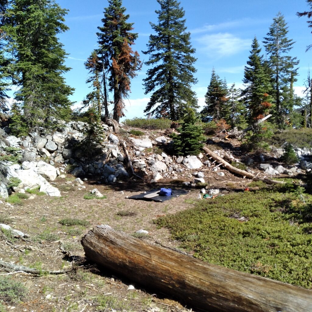
Then I look around, but there does not seem to be a campsite. Well, this just ain’t right. There has to be! This is just too good a spot for no one to have ever built a camp here. I poke around along the flat, and sure enough, there it is. A wonderful campsite, on decomposed granite- sand, really- in the shelter of a low rock outcropping. I knew it!
The sleeping area is big, sandy and nearly level. It is also in full sun, so I retire to the shade to read and rest. I will wait to set up camp until the sun goes down a little.
After the shade moves onto the site, I make a cup of coffee and lunch. While I am doing this a hummingbird buzzes me. It buzzed me earlier, as I was reading in the shade. I move away a few feet, and it buzzes my food bag! I am using an orange mesh polypropylene bag- an orange bag for holding oranges- as a food bag, and I realize the hummingbird is focused on that. Our hummingbird feeders at home are red. I suppose that settles any question about whether birds can see color!
The afternoon passes lazily, reading in shade. Night comes slowly under an early 3/4 moon.
June 10
In the long shadows of the morning, I sit in the sun for it’s warmth, huddled over my tiny cooking fire. I am a bit cold, and eager to get going. Once I start climbing up the short pitch to the saddle, the down jacket goes into the pack, and soon I am choosing the shady side.
The saddle runs level for a quarter mile, and there is a discernible trail along it. Others go up Monument Peak, from time to time. This is going to be easy. Relatively easy, that is. When the trail turns uphill, it gets serious about going up, tho. It is steep, but covered with trees, mostly red fir. The walking is on soil, not rock, and there is little brush to impede progress. The trail eventually dissolves into possibilities and choices, but there is no difficulty in finding a way up.
I’m not really sure how to describe the ascent. Scrambling, maybe. Sometimes it is just very steep hiking, and sometimes I have to use my hands to get over rocks. Not really climbing, not walking. I was wrong; it’s not easy. Not dangerous, but a lot of effort. Finally I reach the top.
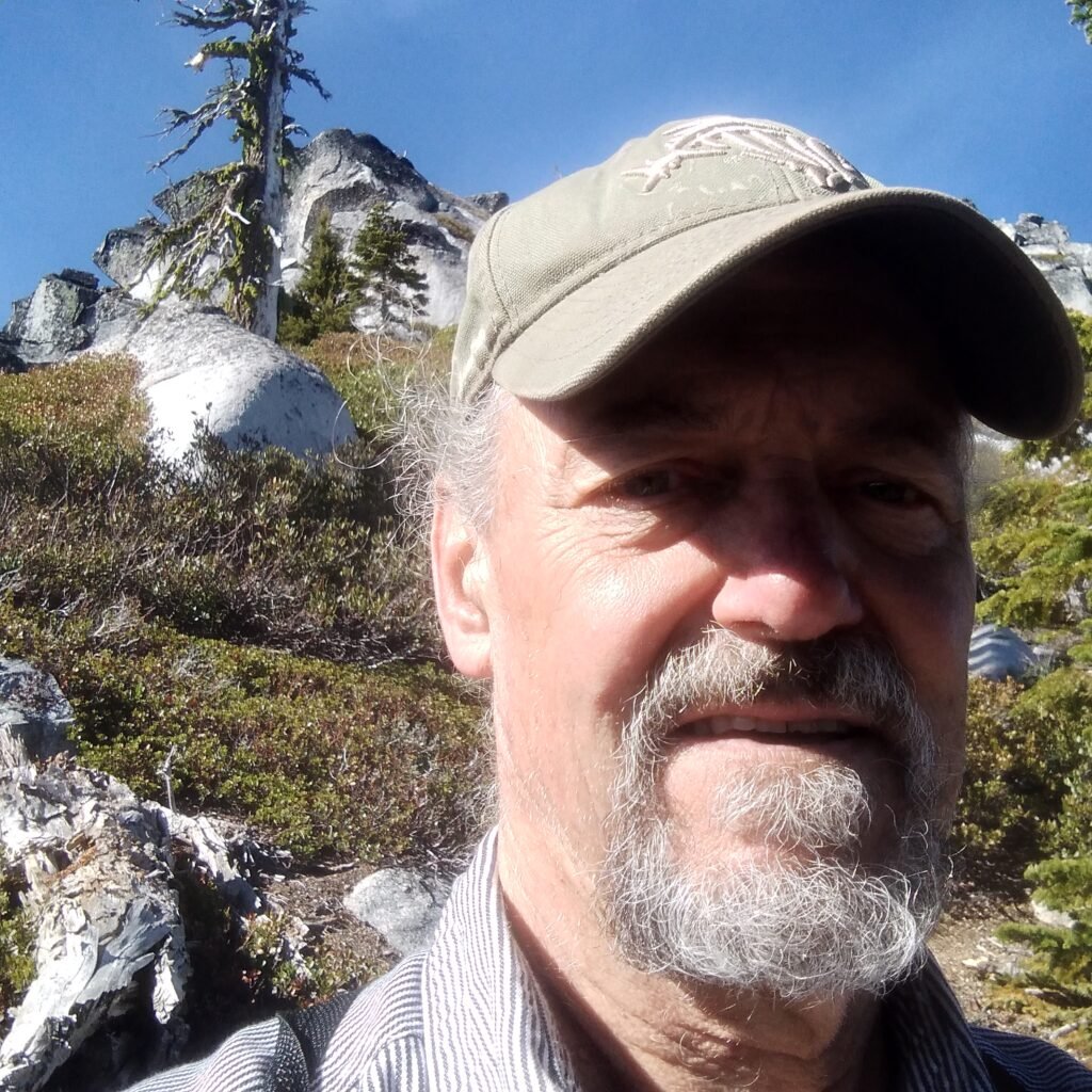
Actually, I don’t reach the top. The top is a sharp crest of granite. To actually get to the peak would require ropes and pitons and more skill than I have. I stop about 200 yards below the peak. I could struggle up a little farther, fighting brush and rock, but I decide it will not be worth the effort, as I know I cannot reach the actual peak.
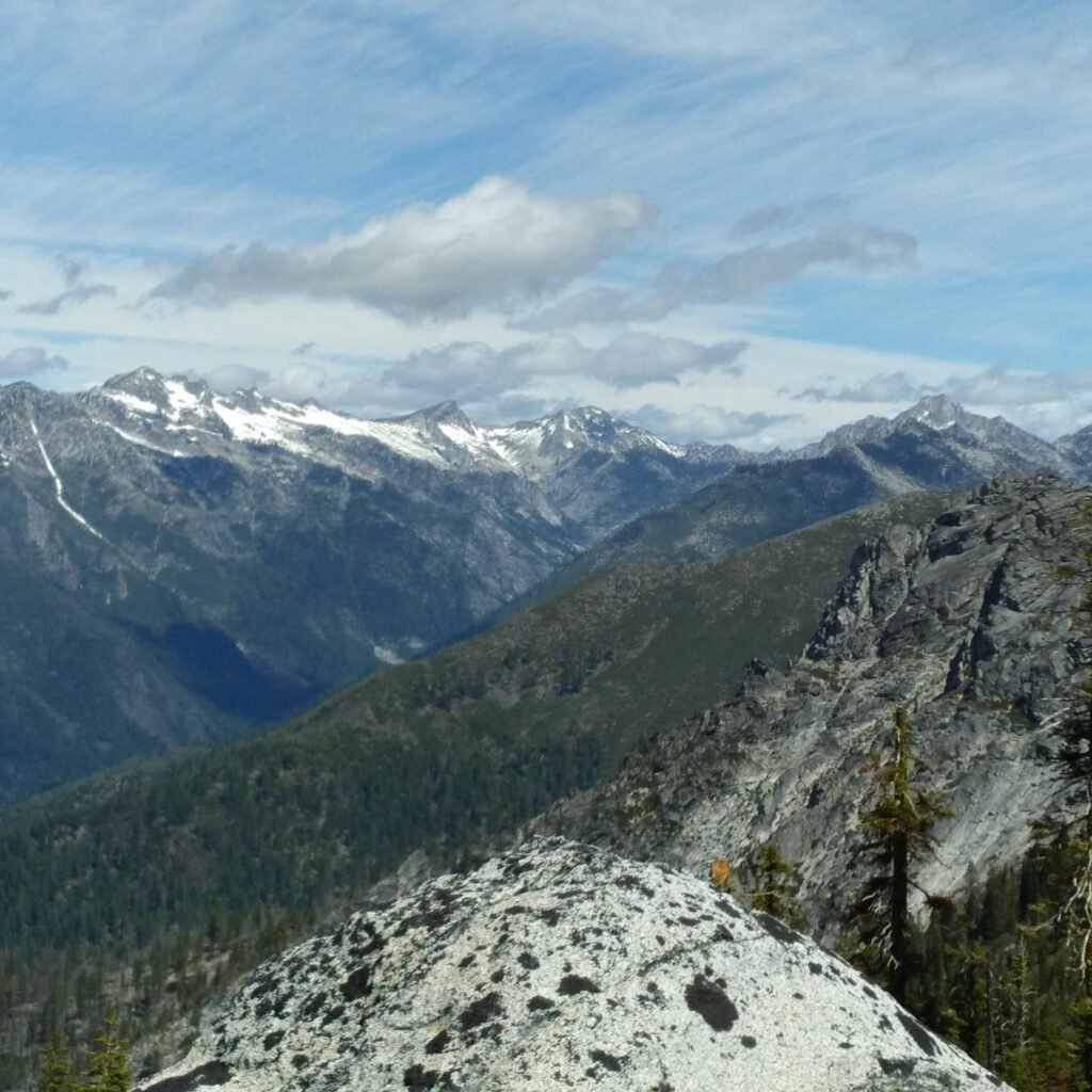
It’s OK. I can see Lewiston, where my house is, tho it is too small to make out, of course. I can see Rush Creek lakes precipitously below me to the east, and I have a view of the high alps, Wedding Cake, Thompson Peak and Caesar Cap to the northwest. I am satisfied.
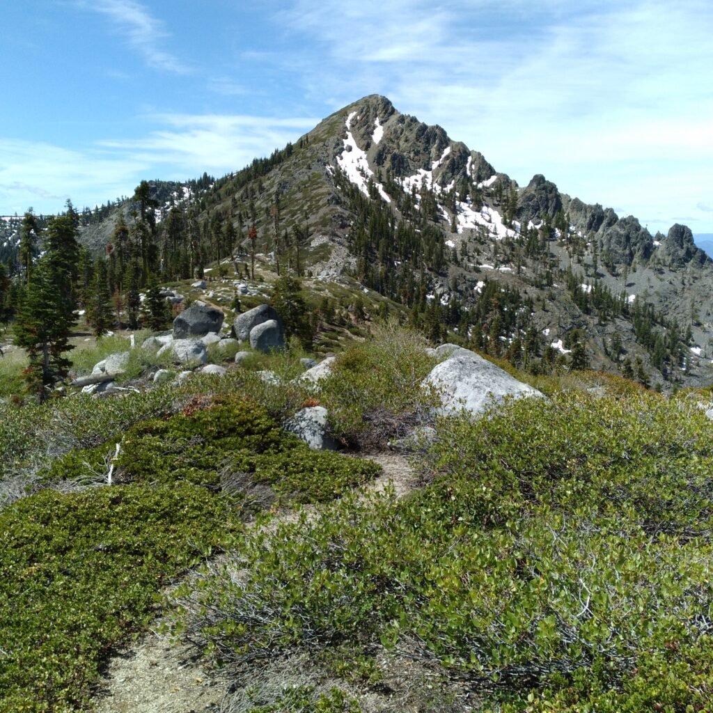
It is easier going down, but I move slowly, cautiously. No falling allowed; it’s one of the rules of geriatric mountaineering. Then it levels out, and I am back on the saddle, again, really easy hiking on an actual trail. This is nice. From here I can see the middle peak from a different angle, and it looks like it is climbable, from this side. Maybe I will go up there next year.
June 11
Last night the clouds put on a spectacular light show under a three-quarter moon. A high level of skeletonized clouds passed slowly from west to east, forming intricate vermiculated patterns. Below them, very low, wide bands of wispy clouds streamed rapidly overhead, just clearing the middle peak and flowing down close above me, maybe 100 feet up. Sometimes the moon shone through, and sometimes the brighter stars, Arcturus and Vega, could be seen. Sometimes the moon was obscured, just a brighter spot behind the bands of mist, but then the bands would split, letting it shine glistening through the herring-bone patterns of the higher layer. Sometimes they both parted, showing the full face of the moon.
This is impossible to describe adequately, but spectacular to watch. I took a video with my cell phone, but it is pathetically inadequate.
From our living room couch, Darlene and I often watch clouds streaming over Monument Peak. Now I know what it looks like close up.
In the morning, I prepare to leave, mission accomplished. My goal today is to find the trail out. To heck with that overland off-trail boulder scrambling! Actually, finding it is easy. It is right there, 100 feet from camp. I took it up to Monument Peak, yesterday. However, there are two possible problems. First, it is not much of a trail. It keeps disappearing. Can I follow it? Probably.
The second problem is more disturbing. I know that there is a hiking trail out of the Weaverville basin that runs quite a way up East Weaver Creek. Does it come all the way up? If so, could I miss the cut-off to East Weaver Lake, and wind up far down the mountain, headed the wrong way? It is very possible.
So I watch carefully as I go. The trail winds down, and most of the time I am sure that I am following it. However, I eventually become convinced that I am well below the elevation of the lake. Did I miss the junction? I am still tentatively following the trail, but it keeps getting lost. I, however, am not lost. I know how to get to the lake; just cut up thru the brush and timber. Harder going, but I am afraid to keep going down, so I cut up diagonally to the right.
Mostly timber, some brush, not too bad. As I climb, I can see the lip of the lake basin above me, and I am glad I did not keep going down. Then I see the trail, 20 feet below me, cutting up to the lake. Well, heck! It is good trail, and I probably would not have missed it. I scramble down and take it up to the lake.
How far was I from the turning point of the trail? Is there a junction? Would I have seen it? I do not regret erring on the side of caution, but I may have to come back and hike the trail the other way, just to see.
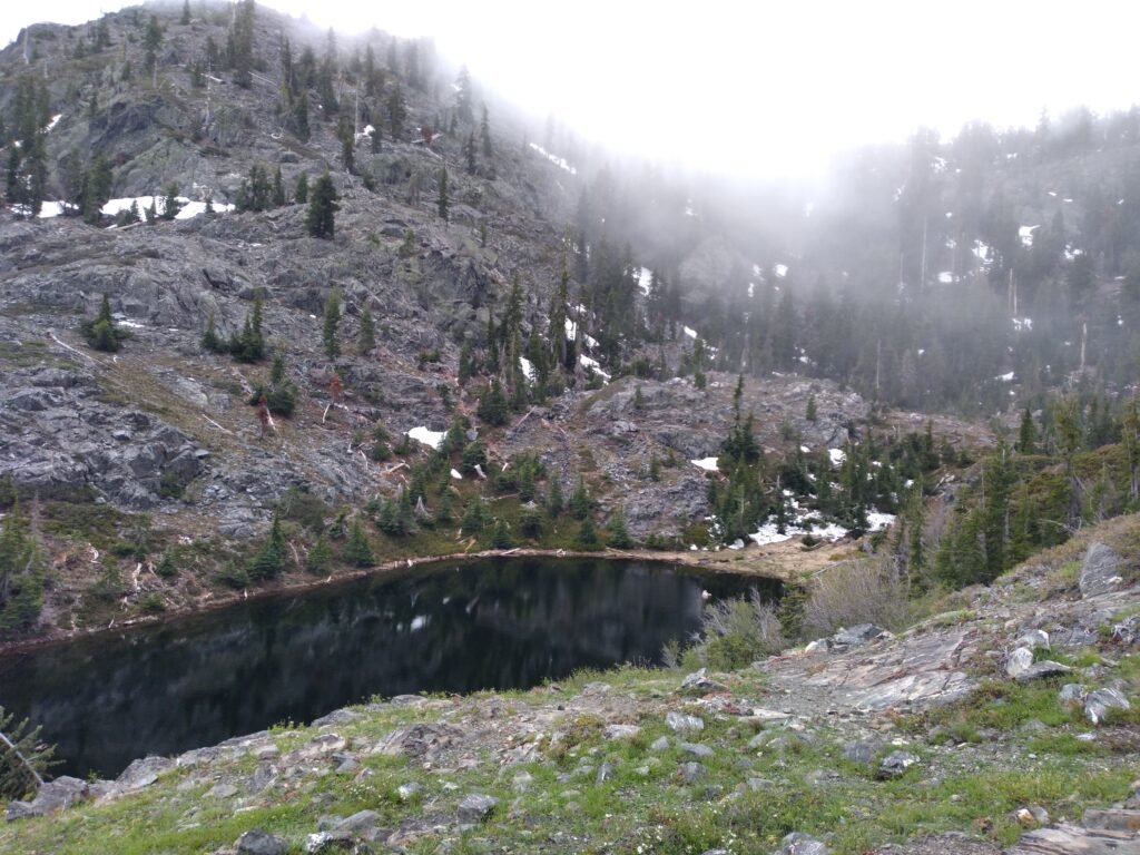
East Weaver is a pretty little lake. It sustains a small population of brook trout, but not enough to harvest a meal from without hurting the resource. I will never fish it, but I will stop to take a break and watch the water. No fish are feeding, today. It is cold and misty, perfect hiking weather.
Both times I have been here, I took the trail up to the left-hand peak, but I have seen that there is a lower trail that cuts up over the rim above the lake. This trail is obvious. I walked it out the last time I was here, but I must have missed the main trail and gone up over the wrong pass. Actually, I think the trail was buried in snow the last time. There is less snow this year, so maybe I can find the easier way.
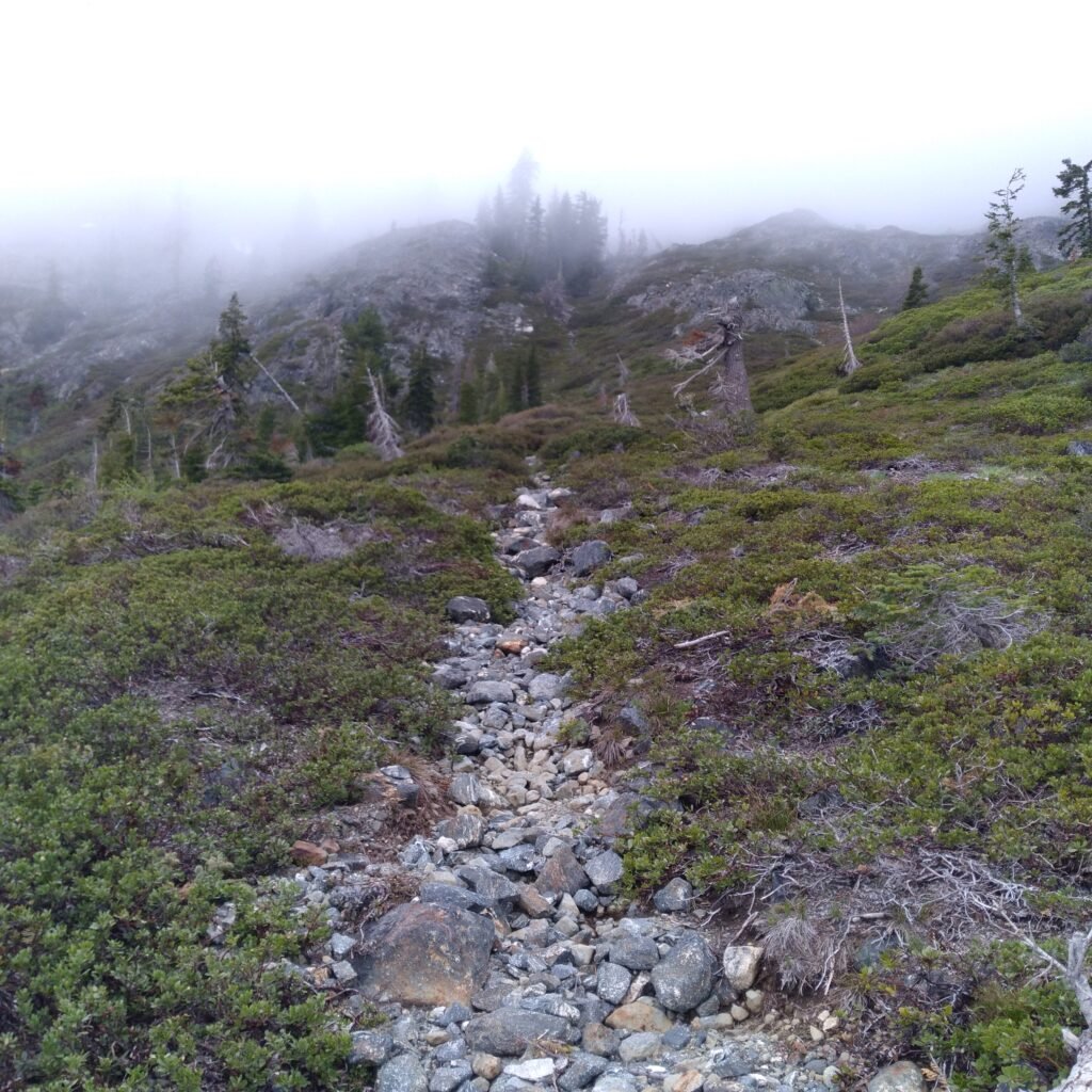
For once, my surmises turn out to be true! About half-way up to the ridge, the trail takes off to the left. It is cut out of rock and swings around through a lower saddle. I see the traces of one person, possibly two, here before me this year. Not a bad trail, tho I have to scramble around a couple of down trees, and I wind up climbing a snow bank at the top. That is why I could not follow it last year; it was under snow. This trail does not open up very early in the year.
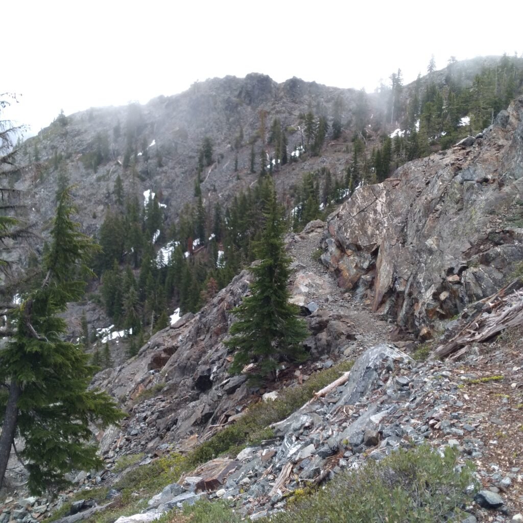
The last couple of miles is side-hill trail, easy to follow, though not well cut into the hillside.
When I get almost back to the Ford, I see where the two trails diverge. I have been overlooking the split before, possibly because it is so close to the trailhead. Next time, I will know.
It seems I have taken the harder path, again, but I have made it to the top of the mountain.